Long Distance Trails – Batona Trail


NEW YORK/PHILADELPHIA METROPOLITAN AREA
OPEN SPACE RESOURCE LIBRARY
Batona Trail
Map and Guide: http://troop310.cyberpuppi.com/Batona.htm
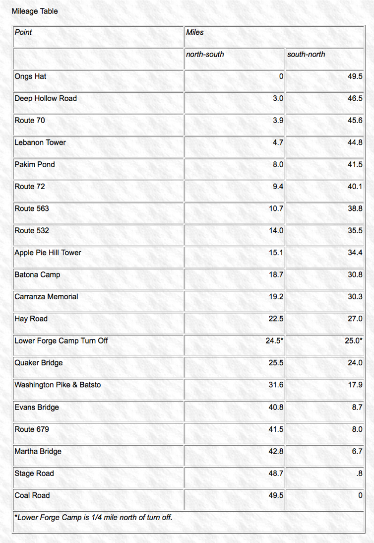
Mileage: 49.5
Blazing: Pink, not always standard
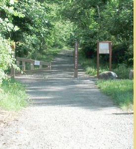
The Batona Trail is a long distance trail showcasing the Pine Barrens of southern NJ, stretching from Ong's Hat in Brendan Byrne State Forest, south through Wharton State Forest, and then on to Bass River State Forest, ending at Coal Road.
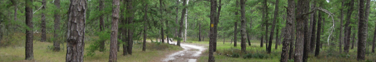
Along the way, it passes by many lovely rivers, streams, and swamps, the Applie Pie Hill Fire Tower (one of the highest points in the Pine Barrens), historic Batsto Village, and more. Compared to other trails, the Batona Trail can often become monotonous as it's scenery does not vary much, but it is a great nature study for the Pine Barrens region, and an easy hike for those who want to try backpacking for the first time.
The Following is being taken from the site indicated above only to hold on to this resource. We do not own this material, nor have we created it. Please support Boy Scout Troop 310 for their efforts. http://troop310.cyberpuppi.com/index.htm

Hosting courtesy of Firebrand Communications. Website design by SGF Studios
©2012 Metrotrails unless otherwise noted • All rights reserved